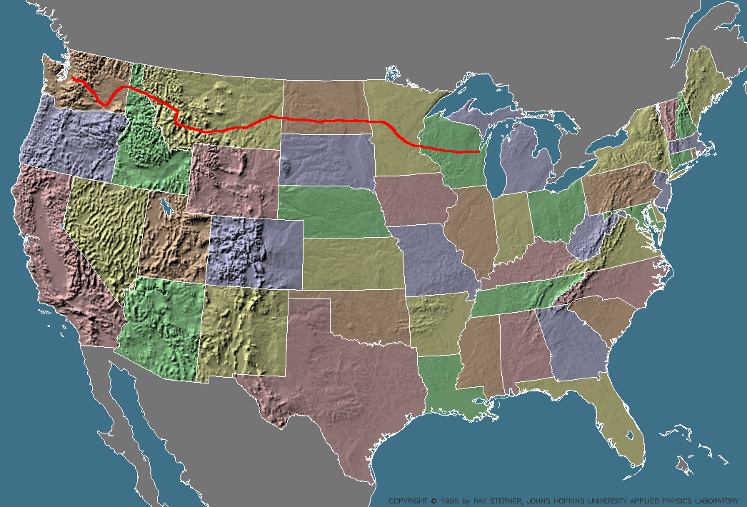
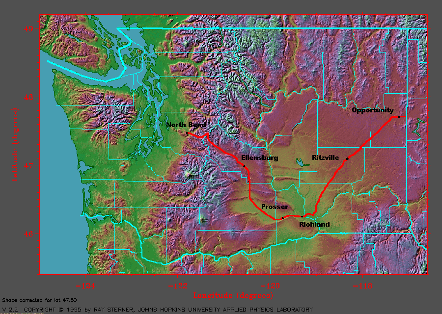
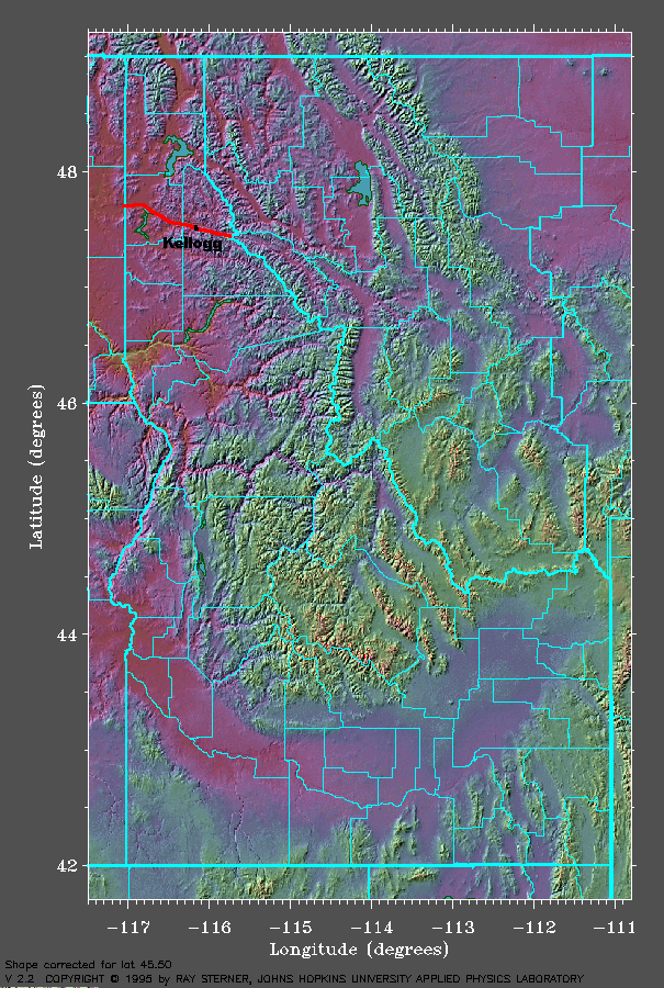
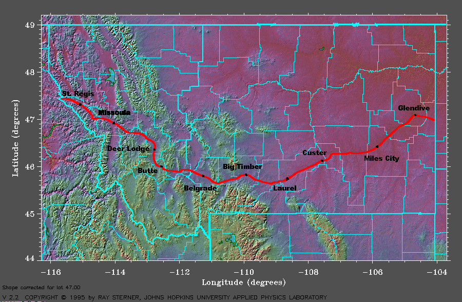
Maps of the JourneyThe following maps are computer generated shaded relief maps showing the route and progress of the bikers. A black line indicates the intended route. A red line indicates completed portions of the route. Stayover cities are added as they progress each day. The maps show the terrain very well, especially in the Rocky Mountains! The state maps have county lines for reference. These maps are ©Ray Sterner and are used with his permission. For more information, please visit the Color Landform Atlas of the United States homepage. Thanks Ray! Please use your browser's 'back' button to return from these images.
|